Tuesday, 01 December 2020
Discussion of Draft Data Security Agreement on LHK Spatial Data Sharing (NFMS/WEBGIS) with East Kalimantan Province to Support PCF-CF Implementation
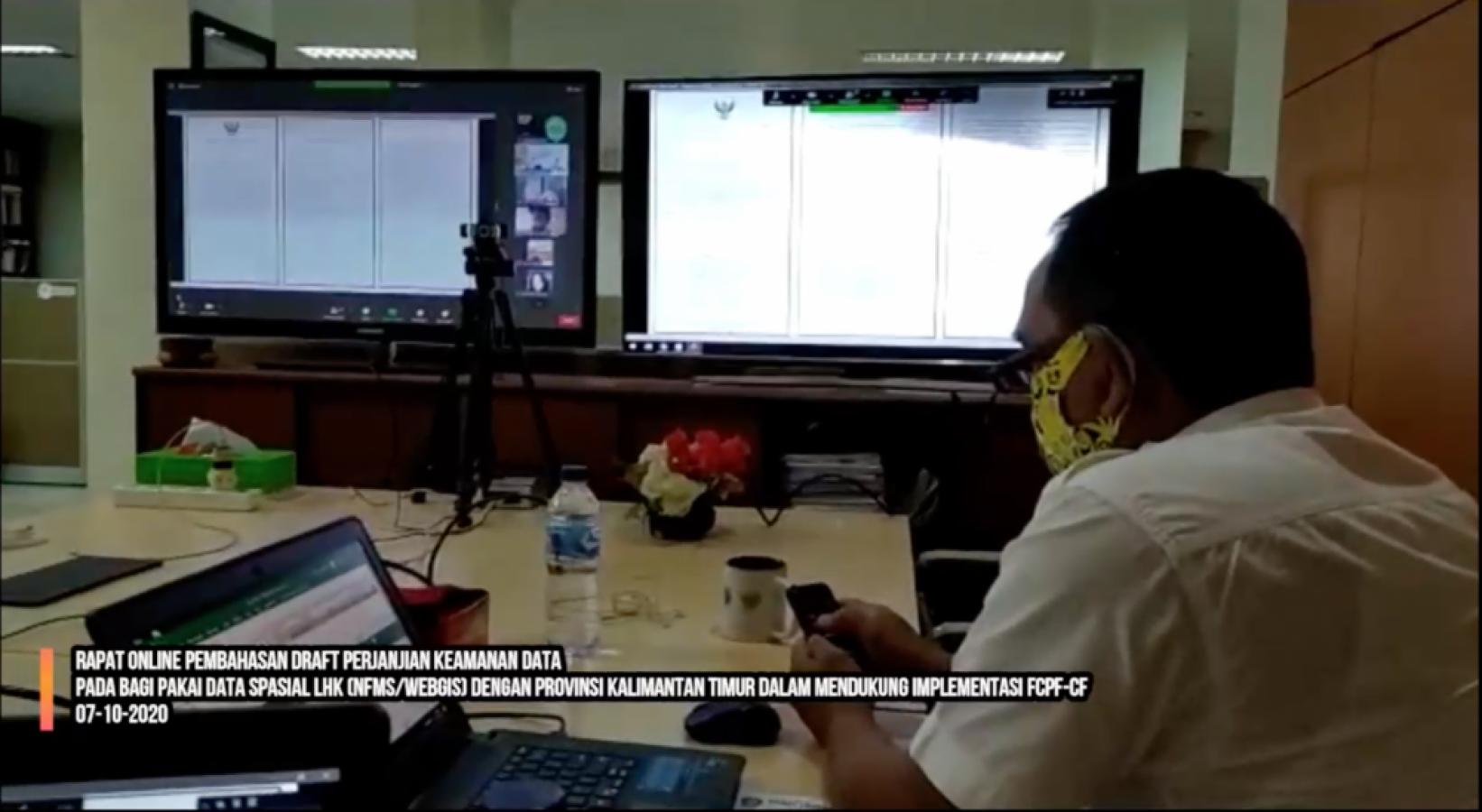
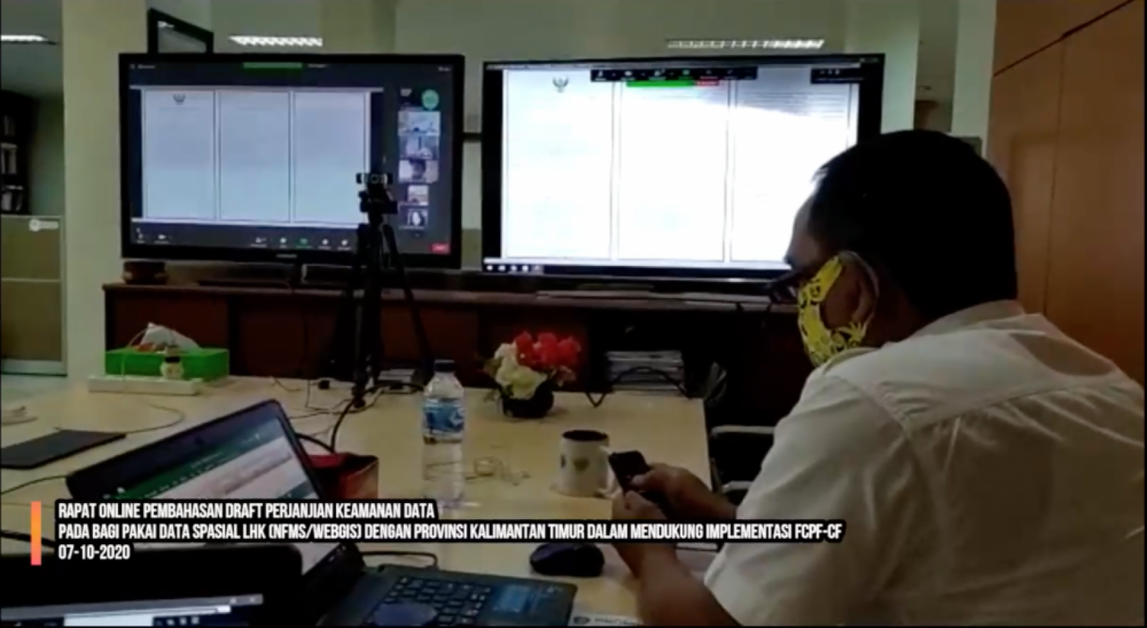
Samarinda, (07/10/2020). Head of Data and Information Sub-Sector Agus Taswanto, ST participated in the Discussion of the Draft Data Security Agreement on Sharing LHK Spatial Data (NFMS/WEBGIS) with East Kalimantan Province to Support the Implementation of the Forest Carbon Partnership Facility Carbon Fund (FCPF-CF) virtually via the zoom meeting application.
The event was opened by the Director of Forest Resources Inventory and Monitoring (IPSDH) and attended by the Ministry of Environment and Forestry (KLHK), the East Kalimantan Provincial Environmental Service, the Provincial Secretariat of Government, Borders and Regional Autonomy. East Kalimantan, East Kalimantan Dipterocarp Forest Ecosystem Research and Development Center, BPKH Region IV Samarinda, PPIIG-LP2M UNMUL, FCPF-CF Consultant, and GGGI Consultant.
Geoportal Integration or LHK Spatial Data Sharing (NFMS/WEBGIS) with East Kalimantan Province in Supporting FCPF-CF Implementation is the first pilot project carried out by the Ministry of Environment and Forestry with the Regional Government.
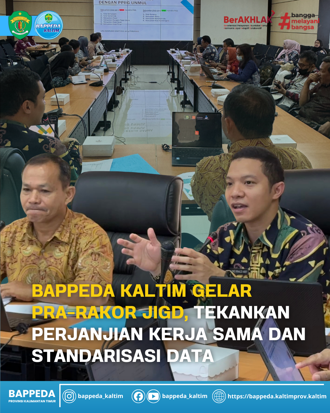
The geoportal integration stage has entered the final stage, namely discussing the Draft Data Security Agreement on LHK Spatial Data Sharing (NFMS/WEBGIS) with East Kalimantan Province in Support of FCPF-CF Implementation before implementing geoportal integration.
In the framework of this geoportal integration, there are several different administrative maps that are used as references. The Ministry of Environment and Forestry uses an administrative map made by BIG and the East Kalimantan Provincial Government uses an administrative map made/updated by the PPOD Bureau. In this meeting, an agreement was reached that the reference would be to use the administrative map from the PPOD Bureau.
Submitted by Agus Taswanto, there are two types of data use that will be used, namely the cloud serverr method and the geodatabase server method. Both methods will be tested first to find which method is easiest to implement.
KLHK will distribute 25 IGT to the East Kalimantan Provincial Government, not only to support the implementation of the FCPF-CF but also to support other East Kalimantan development planning.
Spatial data from the Ministry of Environment and Forestry may only be used within the internal SKPD of East Kalimantan Province, and other parties working for the activities of the East Kalimantan Provincial Government by first creating Integrity Facts.
(Humas BappedaKaltim/fat)