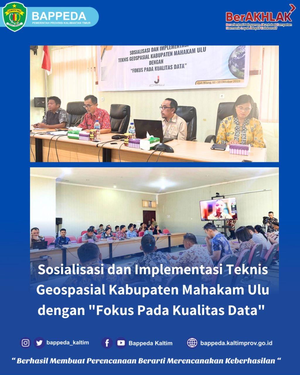
Socialization and Implementation of Geospatial Techniques in Mahakam Ulu Regency with "Focus on Data Quality"
Mahulu, (12/10/2023). Bappeda of East Kalimantan Province as the coordinator of JIGD (Regional Geospatial Information Network) and geospatial data supervisor, is a resource for JIGD geospatial technical guidance in Mahakam Ulu Regency which is organized by the Mahakam Ulu district government. The event will take place over two days from October 12 to October 13, 2023.
This technical guidance was held to encourage the provision of quality geospatial data and information as a reference in the planning and implementation process of regional development.
The participants for the technical guidance this time were employees of Bappelitbangda Mahakam Ulu, Diskominfo Mahakam Ulu and all regional data producing officials in Mahakam Ulu Regency.
For information, in Governor Regulation no. 41 in 2016 and No. 48 of 2021 concerning one data that geospatial data is data about geographic location, dimensions or sizes, characteristics of natural or man-made objects in the area. This data must be accurate, up-to-date, integrated and accountable. Therefore, the success of a development cannot be separated from the data presented in a quality manner.
By holding this technical guidance, it is hoped that it can increase the capacity of data producers and produce quality Thematic Geospatial Information in accordance with data standards set by the Geospatial Information Agency.
(SA)
Image : (Son, P2EPD)
#bappedakaltim2023
#bimtekJGIDmahulu2023
#Socialization andImplementationofGeospatialTechnicalMahakamUludganRegencyFocusOnDataQuality
#Regional development control and evaluation planning
#ppidbappedakaltim2023