Thursday, 02 December 2021
Coordination of Geospatial Information Data Utilization with Bappeda of South Kalimantan Province
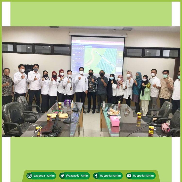
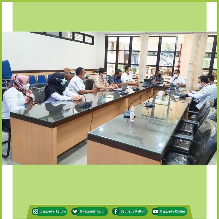
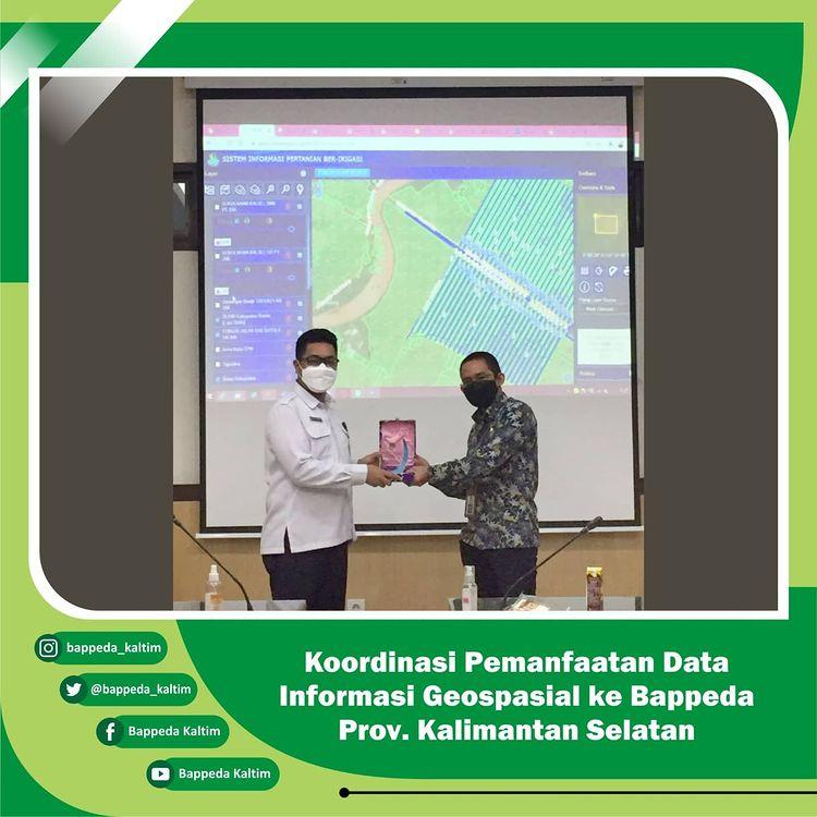
Wednesday, December 1 2021. A delegation from the East Kalimantan Provincial Bappeda led by the Head of Data and Information Analysis Subdivision, Regional Planning, Control and Evaluation Sector, Mr. M. Hamsani ST, M.Si, carried out the activity "Comparative Study and Coordination of the Use of Geospatial Information data to the South Kalimantan Provincial Bappeda".
As is known, South Kalimantan has succeeded in receiving the Bhumandala Gold award in terms of the use of Geospatial data through the SITARI Application "Irrigated Agricultural Systems".
On this occasion, the Head of Infrastructure Subdivision of Bappeda, South Kalimantan Province, Mr. Dedi Hidayat, said that one of the advantages of this system is that it integrates agricultural potential with irrigation management, so that what is planned and budgeted can be right on target in terms of agricultural development in South Kalimantan.
Bappeda of East Kalimantan Province considers this application system to be good and needs to be adopted in developing the existing spatial system in East Kalimantan.
#bappedakalsel
#bappedakaltim
#datastatistikdangeospatialkaltim
#sitarikalsel
#systemdatapertaniankalsel
#satudataindonesia
#datainfraswil